 |
 |
 |
|
 |
 |
 |
|
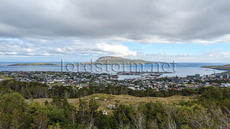
| Looking southeast across Tórshavn and its expansive harbour, from the ridges over the western edges of the city. The island of Nólsoy lies about 4 kilometres to the east, accessible in around 20 minutes by ferry, with its highest point Eggjarklettur (372m high) on the mountain Høgoyggj wreathed in clouds. |
 |
|
 |
|
|
|


