 |
 |
 |
|
 |
 |
 |
|
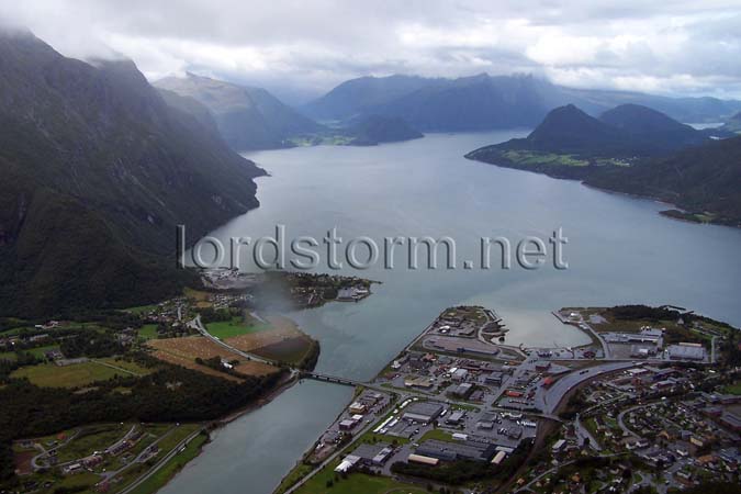
| An aerial panorama looking down on Åndalsnes, at the mouth of the river Rauma on Romsdalfjorden, about halfway up the mountain (known as Nesaksla by the locals) on the edge of town. After the German WWII invasion of Norway in 1940, British troops landed here as a part of a plan to take Trondheim.
|
 |
|
 |
|
|
|
